Smartphone users enlisted to track Tyrella Beach changes
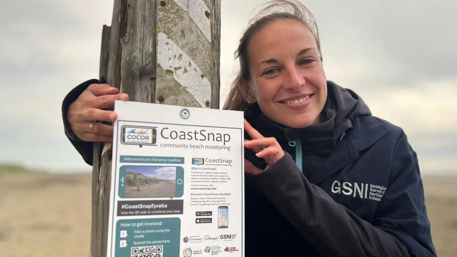
A new initiative at Tyrella Beach in County Down is asking visitors to contribute to scientific research by taking photos with their smartphones. The project, known as CoastSnap, invites beachgoers to snap images from a fixed point, creating a long-term record of coastal change.
A metal cradle mounted on a fence post holds a phone in a horizontal position, framing a specific section of the upper beach. After taking a photo, users scan a QR code and upload it to a website. The process is anonymous, with optional fields for observations like erosion or vegetation change.
The data will help researchers understand how the coastline responds to weather, tides, and seasons. Melanie Biausque, a geomorphologist with the Geological Survey of Northern Ireland, is leading the effort. She said that people who regularly visit the beach can help scientists answer questions about why the beach changes.
CoastSnap originated in Australia and is part of a wider project called Co-creating Coastal Resilience, or CoCor. This is its first location in Northern Ireland. The work is funded by the Department for the Economy, with more sites planned.
Tyrella was chosen because volunteers have already been working to restore the sand dunes. They collected marram grass seeds, planted them, and erected fencing and signage to protect the young plants. Biausque said she wanted to highlight that local effort and use CoastSnap to track the effects over time.
Scientists note that coastal environments naturally shift with waves, currents, and wind. However, climate change is expected to bring rising sea levels and more frequent storms. By building a detailed photographic record, researchers hope to better predict and adapt to these changes.
Open days will be held to teach people how to participate. Organizers encourage regular visitors to contribute photos throughout the year, as these repeated observations can reveal patterns that occasional scientific visits might miss.