Unsettled Showery Week Ahead for Northern Ireland, But Warmer Conditions Possible By Weekend
Northern Ireland began the week with a mix of sunshine and showers, accompanied by cool and breezy conditions, according to weather forecasts.
Tuesday is expected to bring further showers, some heavy and thundery, particularly across northern areas of the UK. Northern Ireland is likely to see frequent downpours with a risk of thunder.
The unsettled pattern continues through midweek, with sunshine and showers on Wednesday, a band of rain pushing eastwards on Thursday, and a return to sunshine and showers on Friday.
Temperatures through this period will remain on the cool side, below the seasonal average for early June.
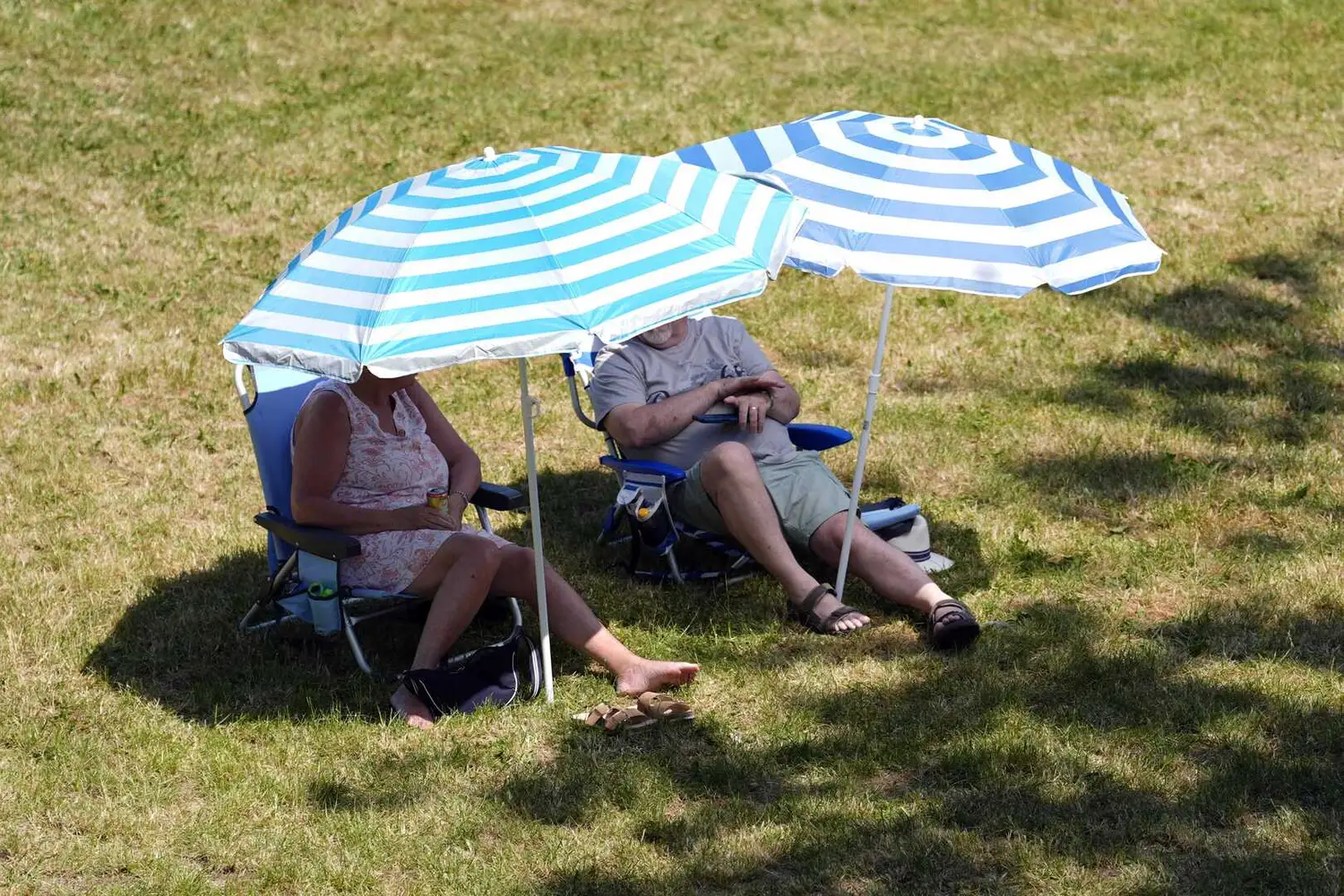
Looking ahead to the weekend, conditions may begin to improve as high pressure builds from the south. Forecasters indicate temperatures could climb closer to normal levels for Northern Ireland, although the southeast of England is expected to see the warmest conditions, possibly reaching into the high twenties Celsius.
The Met Office outlook for the period from Friday June 12 to Sunday June 21 suggests it will remain fairly unsettled, with Atlantic low pressure systems passing to the north and west. However, temperatures are likely to be near or a little above normal overall.
The longer-range forecast from late June into early July points to relatively settled weather for much of the UK, with high pressure bringing drier than average conditions, especially to southern regions. Northern Ireland can still expect some showers or longer spells of rain at times.
This spell of changeable weather follows an exceptional late May heatwave that set numerous temperature records across southern and central England, though Northern Ireland did not experience the same level of heat.