DAERA Launches Mapping Tool for Breeding Waders on Lough Erne
The Department of Agriculture, Environment and Rural Affairs has released a mapping tool to protect breeding wading birds in Northern Ireland. Scientists from the British Trust for Ornithology in Northern Ireland developed the resource using data up to 2023.
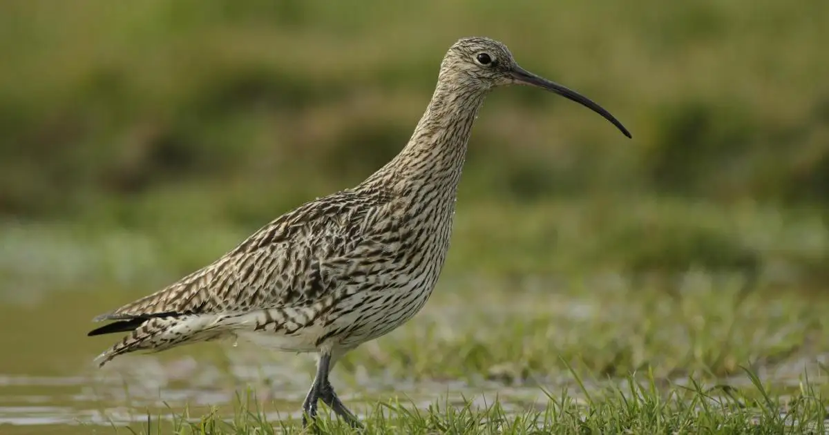
The maps show locations of protected species including Curlew, Lapwing, Redshank and Snipe. They indicate density and distribution across the region to guide land-use decisions.
Publicly available, the tool supplies evidence for policymakers considering development or afforestation projects. It highlights areas on Lough Erne, the Antrim Plateau and south-west Lough Neagh where wader recovery efforts continue.
Data comes from sources dating to the 1980s, gathered by BTO researchers. Citizen science from Bird Atlas and Breeding Bird Survey volunteers contributed to the analysis.
The Northern Ireland Environment Agency commissioned the project through DAERA’s Environment Fund. The maps support but do not substitute required bird surveys for project proposals.