Northern Ireland pilots UK-first digital air quality tool for planning
A digital tool to assess air pollution from planning applications has been launched as a pilot in Northern Ireland, the Department of Agriculture, Environment and Rural Affairs (DAERA) announced.
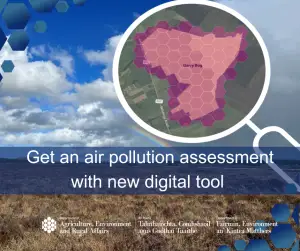
The service, called ‘Get an air pollution assessment’, gives developers and consultants a way to estimate emissions of ammonia and nitrogen oxides from proposals such as major road schemes or livestock buildings. It models how those pollutants disperse and deposit on protected natural sites.
Minister Andrew Muir said the system would supply robust evidence to the Northern Ireland Environment Agency and planning authorities, helping to reduce backlogs and cut costs for applicants, who can use it free of charge.
The tool is the first of its kind in the UK. It was jointly funded by DAERA’s Carrier Bag Levy, Defra and other UK environment bodies, and led by the Joint Nature Conservation Committee (JNCC). Its design draws on an established Dutch government model.
JNCC Director of Ecosystem Evidence & Advice Steve Wilkinson explained that Northern Ireland was chosen because ammonia concentrations and nitrogen deposition exceed harmful levels at almost all designated wildlife sites in the region. The tool can, for the first time, automatically combine emission footprints from multiple projects to show cumulative environmental impacts.
Currently, air quality assessments across the UK rely on separate, inconsistent modelling systems and scattered data sources, officials noted. The new service aims to unify that process.
Stakeholders including the agricultural sector and planning consultants were consulted during development, and training seminars run by the NIEA have drawn what was described as positive feedback.
While the initial focus is on protected habitats, Mr Wilkinson indicated there is potential to expand the tool to evaluate human health effects, though additional technical work would be required.