Northern Ireland Sole UK Region Spared from Forecast Snowfall
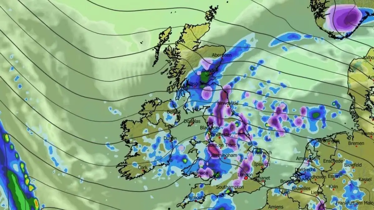
Weather models indicate a blizzard will affect multiple UK regions on April 9. Snow will reach southern England, Wales, the Midlands, northern England, and parts of Scotland by midday.
Advanced ECMWF modelling shows the snow advancing from the east. Temperatures will drop to -2C in Scotland and 1C across much of England and Wales that morning, fostering wintry conditions.
Snow accumulation begins east of the UK at 6am, initially limited to the Pennines. It spreads to lower areas in subsequent hours.
Northern Ireland remains the only area free of snow throughout. Major cities such as London, Cardiff, and Newcastle face impacts.
The Met Office forecast for March 31 to April 9 notes high pressure southwest of the UK dominating conditions. Wetter and windier weather appears in the north, with settled patterns in the south. Temperatures stay near or slightly above average, though colder spells bring wintry showers possible, particularly northward.
BBC Weather outlines a potential for chillier northerly flows mid-April. High pressure may shift north or northwest toward Iceland and Greenland, dipping temperatures near or below normal. Low pressure could then develop closer, increasing rain chances in the south.